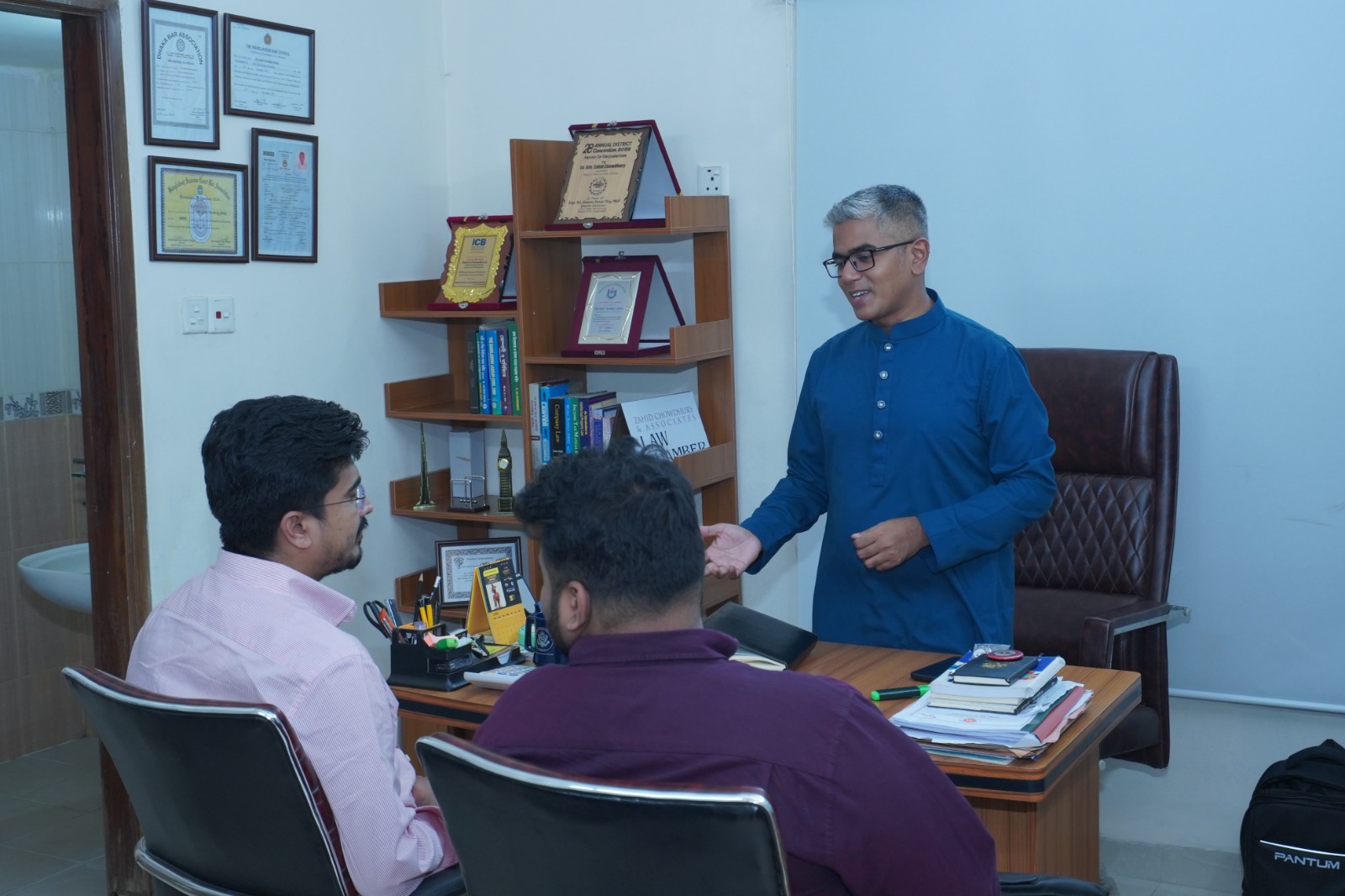

Practical corporate advice from Supreme Court practitioners. Always consult legal counsel before signing founder equity schedules, RJSC filings, or commercial agreements.
In Bangladesh, land ownership records primarily come from two surveys: Cadastral Survey (CS) and Revisional Survey (RS). CS (সিএস জরিপ খতিয়ান) provides detailed maps and boundary demarcations, while RS (জমরিপ খতিয়ান) is an updated record reflecting ownership changes over time. Both are essential but serve different purposes in land management. CS maps help establish physical boundaries, whereas RS records confirm legal ownership status. Conflicts often arise when these records do not match. Legal practitioners rely on these surveys for property transactions and dispute resolutions. Knowing the distinction between CS and RS helps landowners understand their land rights and the importance of maintaining accurate survey documents.